TURNKEY SOLUTIONS
A range of configurable products to suit your business needs
Our solutions combine ease of installation and configuration, and modularity for precise adaptation to your needs and business requirements.

Discover OneGeo Suite
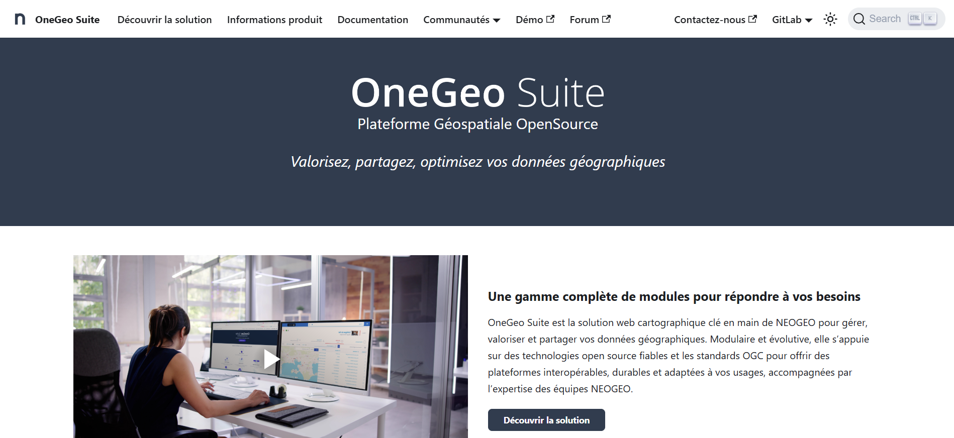
OneGeo Suite is NEOGEO’s turnkey web mapping solution for managing, enhancing, and sharing your geographic data. Modular and scalable, it relies on reliable open-source technologies and OGC standards to offer interoperable, sustainable platforms adapted to your uses, supported by the expertise of NEOGEO teams. It is now available in SaaS mode.
A comprehensive range of modules to meet your needs
OneGeo CORE
Deposit, publish, and leverage your data in one place
OneGeo EXPLORER
Share and discover your datasets in a few clicks
OneGeo MAPS
Visualize, compose, and communicate around your 2D and 3D map data
OneGeo PORTAL
Share your productions, news, and resources with your users
OneGeo DATAVIZ
Enhance your data in interactive dashboards and communicative statistical maps
OneGeo CHAT
Search and exchange on your datasets with a few messages
GeoCONTRIB
Collaboratively edit a database in the form of geolocated contributions and comments
Join the community
Visit our dedicated OneGeo Suite website! You will find all the technical documentation and online demonstrations, as well as a space dedicated to the open-source community containing member contributions, news, feedback, and links to GitLab repositories to participate in development.
Discover GeoContrib
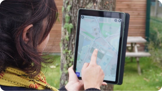
GéoContrib allows you to simply and quickly collect and qualify all types of data, localized or not! Simple and intuitive, it enables collaborative contribution by everyone!
A full-fledged open-source application or a module of the OneGeo Suite solution, it constantly evolves according to the needs of its community.
The user journey

Project creation
I configure the project in which contributors will enter all types of data without thematic limits, with associated and customized fields.

Invitation to collaborate
I invite contributors to collaborate in the previously created GéoContrib project (data entry, possibility to add comments…).

Consultation
The project is visible to all contributors and potentially beyond, depending on the rights associated with the project.

Result exploitation
The data thus constituted can be exported in GeoJSON or CSV format for use in GIS applications (e.g., QGIS).
Rejoignez la communauté
Rendez-vous sur notre site dédié à OneGeo Suite ! Vous y retrouverez toute la documentation technique et des démonstrations en ligne, mais aussi un espace dédié à la communauté open source contenant les contributions des membres, les actualités, les retours d’expérience et les liens vers les dépôts GitLab pour participer au développement.
Discover OneLand®
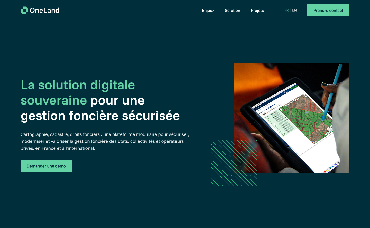
For public and private organizations, efficient land data management is more than just an administrative matter; it is a strategic asset. It ensures security of rights, fluidity of operations, and quality of services to users. The result of over 20 years of expertise in France and internationally, integrating the latest technological advances, OneLand® offers a tailor-made, scalable, and rapidly deployable approach. The platform combines international business expertise and sovereign software engineering.
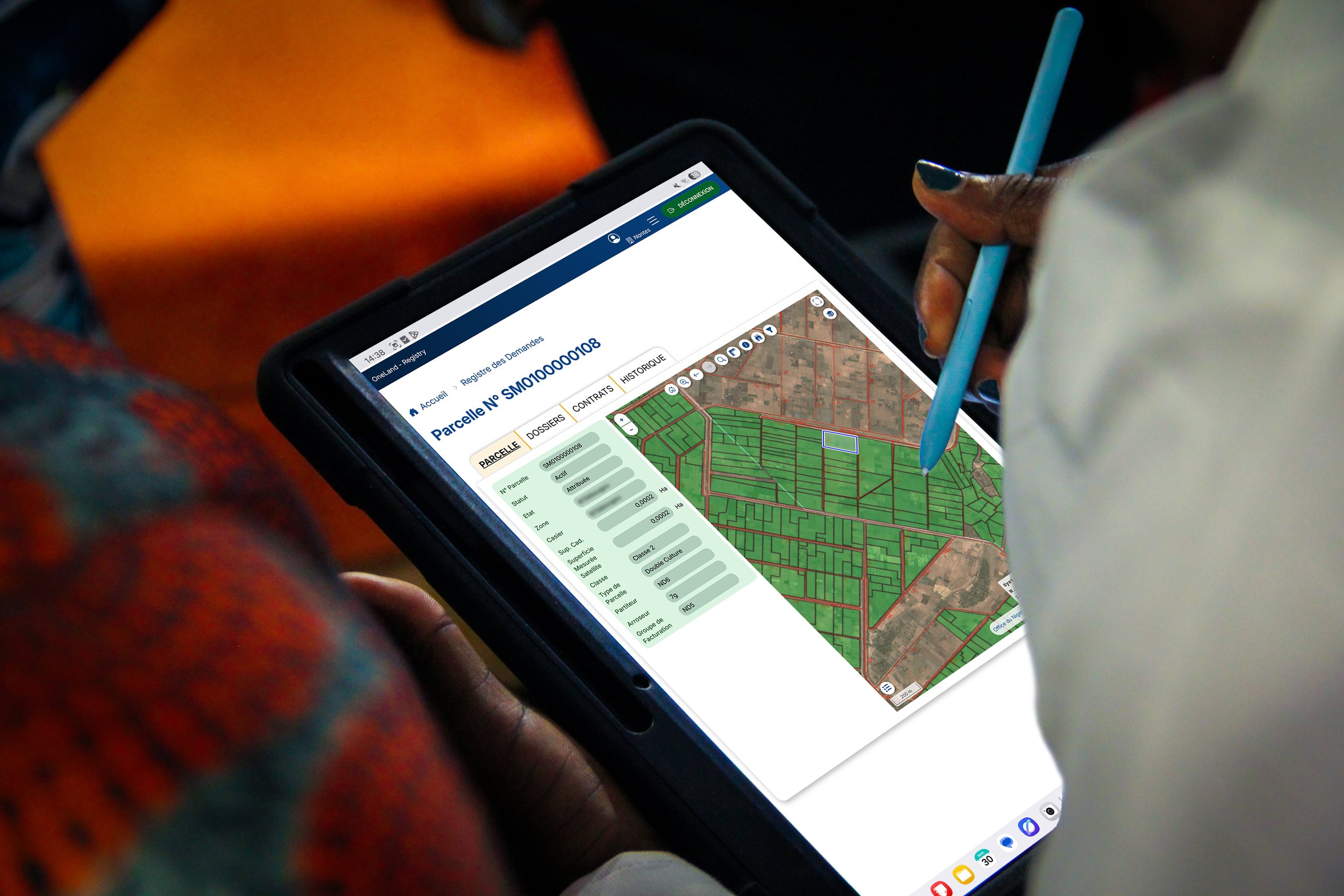
A range of independent modules, selectable and connectable according to your needs
OneLand FIELD
Field acquisition of land data
OneLand REGISTRY
Daily land management, from municipality to Ministry
OneLand SERVICES
Access to information
for users
About
OneLand® is developed by IGN FI and NEOGEO, two subsidiaries of the GEOFIT Group, a major player in land and geographic engineering.
major joint projects for setting up land management platforms and consulting services, in France and internationally