SERVICES
A comprehensive range of services to support the implementation of your geospatial solutions
We support you throughout your entire project lifecycle by offering services and expertise tailored to your needs.
Our Support
Our approach is based on structured V-cycle management, enhanced by an AGILE dynamic that allows us to adjust developments according to your feedback and priorities. This combination guarantees control over deadlines, deliverables, and adaptability.
Consulting and Strategy
Definition of your geonumeric strategy, data audit, change management support.
Data Engineering
Migration, structuring, and advanced processing (AI, dataviz) to enhance your geospatial data.
Hosting, Maintenance, and Support
Sovereign and eco-responsible hosting, managed services, maintenance, team training.
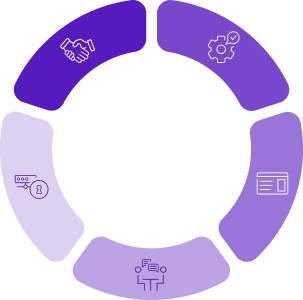
Design and Conception
Workshop facilitation, UX/UI design, functional specifications.
Development and Integration
Custom web and mobile applications, interoperable with your existing infrastructure.
Why choose NEOGEO?

Geomatics and Open Source Expertise
Solid expertise in geomatics and development, based on open-source components.

Continuous Innovation
Solutions integrating the latest technological advancements, driven by our innovation department.

Committed Team
Passionate experts applying DevSecOps and Agile methodologies.

National and International Presence
Adaptability to geographical, cultural, regulatory, and technological contexts.

Sovereignty
Data, solution, and infrastructure security and compliance, aligned with European and national standards.

Complementarity
NEOGEO can leverage the expertise of the GEOFIT Group to offer a comprehensive and integrated range of geoservices.