AREAS OF ACTIVITY
Solutions tailored to your business needs
We take into account the specific challenges related to your business activities, to offer you the right tools for managing, enhancing, and sharing your geospatial data.
ASSETS AND NETWORKS
Optimize the management of your assets

Mapping and monitoring of your infrastructure (water, energy, telecoms, transport, buildings).
Predictive analytics to anticipate and plan maintenance and optimize interventions.
Integration with CMMS systems for unified management.
High-performance, secure geographic data infrastructures

Related references
LAND-USE PLANNING
Plan and manage the development of your territories
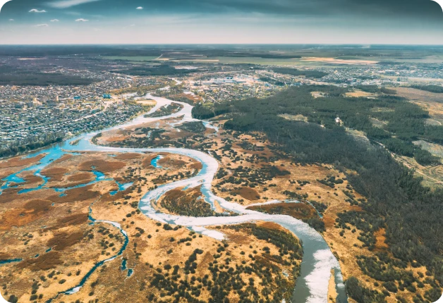
Centralization of urban planning data (PLU, SCOT, development projects).
Scenario simulation for sustainable urban planning (mobility, housing, green spaces).
Integration and enhancement of your projects in a digital twin of your territory.
Citizen participation through accessible interfaces.
Related references
LAND MANAGEMENT
Secure and enhance your land assets
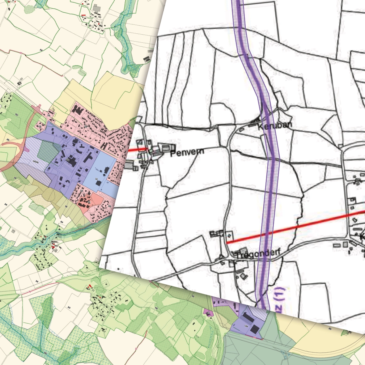
Management of the cadastre and land rights.
Tools for visualizing acquisition or disposal projects.
Land-use planning and strategic management of the territory.
Submission portal and tracking for land-related procedures.
Related references
ENVIRONMENT AND RISK MANAGEMENT
Anticipate hazards and protect your ecosystems with integrated tools
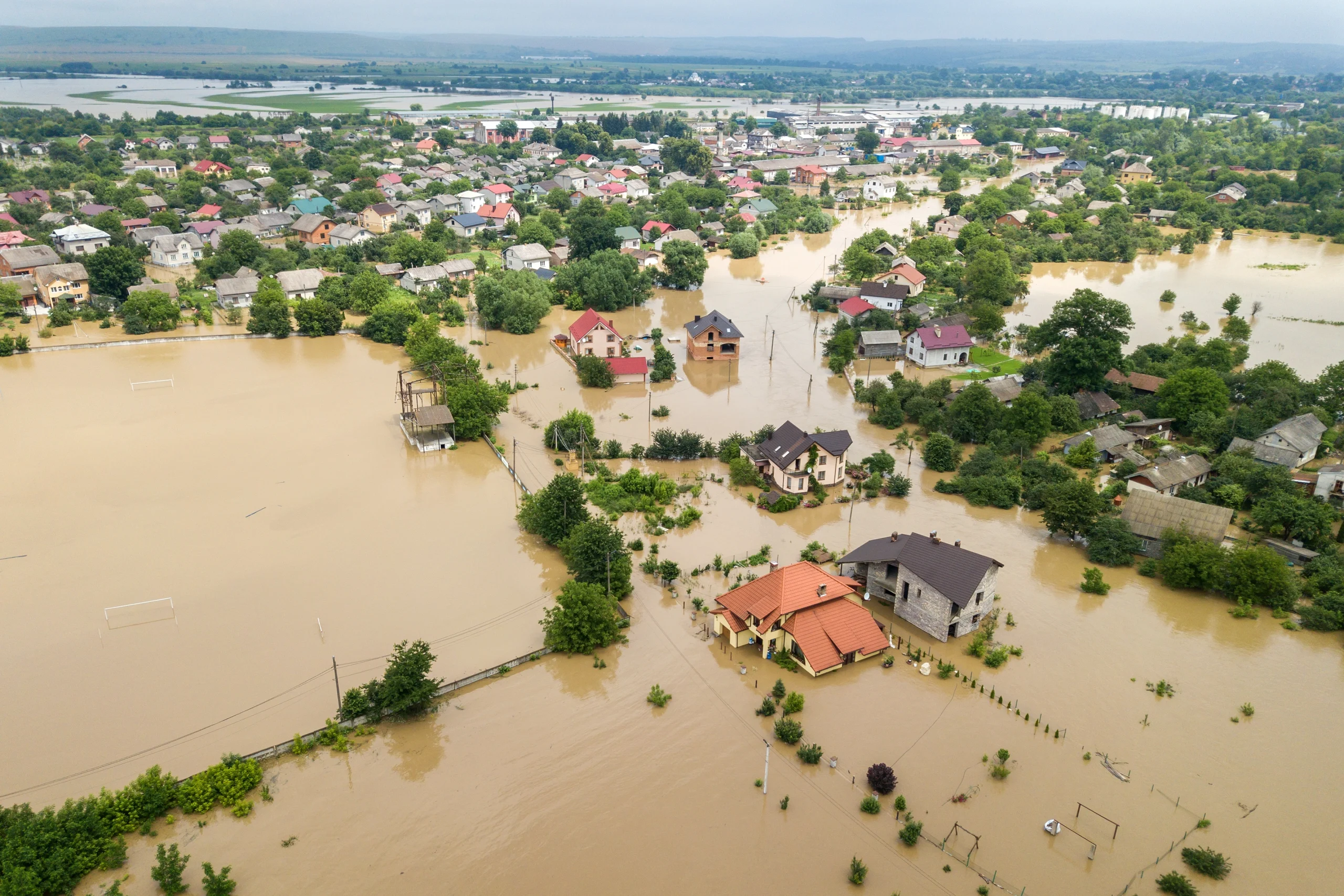
Risk mapping: natural hazards (flooding, fires, ground movement) and technological hazards.
Environmental monitoring: real-time tracking of indicators (air, water and soil quality, biodiversity).
Stakeholder engagement through observatories (local authorities, emergency services, and citizens).