NEOGEO designed and deployed a GIS solution for the Grand Port Maritime de Guadeloupe (GPMG), addressing the specific challenges of port environments. This solution makes it possible to centralize, visualize, and analyze geographic, land, and environmental data. This 100% open-source solution, hosted on the intranet and compliant with data sovereignty requirements, illustrates our ability to support stakeholders in their digital transformation.
A turnkey GIS solution tailored to the port context
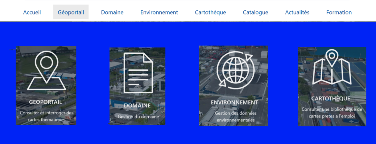
To meet GPMG’s needs, NEOGEO implemented the OneGeo Suite solution, a modular, open-source platform tailored to port operations. Key strengths:
- A centralized data catalog for unified management of geographic reference datasets.
- A custom portal with built-in authentication (Keycloak, Active Directory compatible).
- Advanced interactive mapping (2D/3D, measurement tools, editing, analysis).
- Business applications dedicated to managing land assets and the environment.
This solution enables GPMG to have a tool fully managed in-house, with no licensing costs and enhanced security.
A secure, compliant migration
The migration to this new solution was structured around several areas:
- Integration of existing data into the new infrastructure (PostgreSQL/PostGIS), with particular attention to the quality and consistency of the information.
- Reconfiguration of user access and permissions via a centralized authentication system (KeyCloak), compatible with GPMG’s Active Directory, for simplified rights management.
- Reconfiguration of the mapping module and geographic layers.
- Integration of business applications with OneGeo Suite.
- Administrator training to enable autonomous use of the solution.
A collaborative methodology
NEOGEO set up a dedicated team to support GPMG throughout the project:
- Prototyping workshops with end users to tailor the interface and features to business needs.
- A hybrid methodology (traditional and agile) for progressive, adaptive delivery.
- Takeover and migration of data from the existing PostgreSQL/PostGIS database
- Knowledge transfer through targeted training, enabling staff to quickly master the new solution.
- Deployment of technical support and evolutionary maintenance to ensure the system’s long-term sustainability.
Results
Today, the platform is used daily with:
130 published geographic layers.
Around ten thematic maps available.
An intuitive, secure solution perfectly integrated into their working environment.
This migration enables users to have a high-performance tool fully dedicated to their missions and configured for port operations. The solution is designed to be intuitive, secure, and perfectly integrated into their working environment.
Jean-Philippe RoyProject Manager, NEOGEO
This project for the Grand Port Maritime de Guadeloupe illustrates NEOGEO’s expertise in deploying sovereign, secure GIS solutions tailored to the needs of critical infrastructure operations.
Are you a port or airport stakeholder, or a local authority, and would you like to discuss your digital transformation needs?