CLIENT
Grand Port Maritime of Guadeloupe (GPMG)
SCOPE
Guadeloupe, France
TIMELINE
Since 2017, migration contract and maintenance since 2024
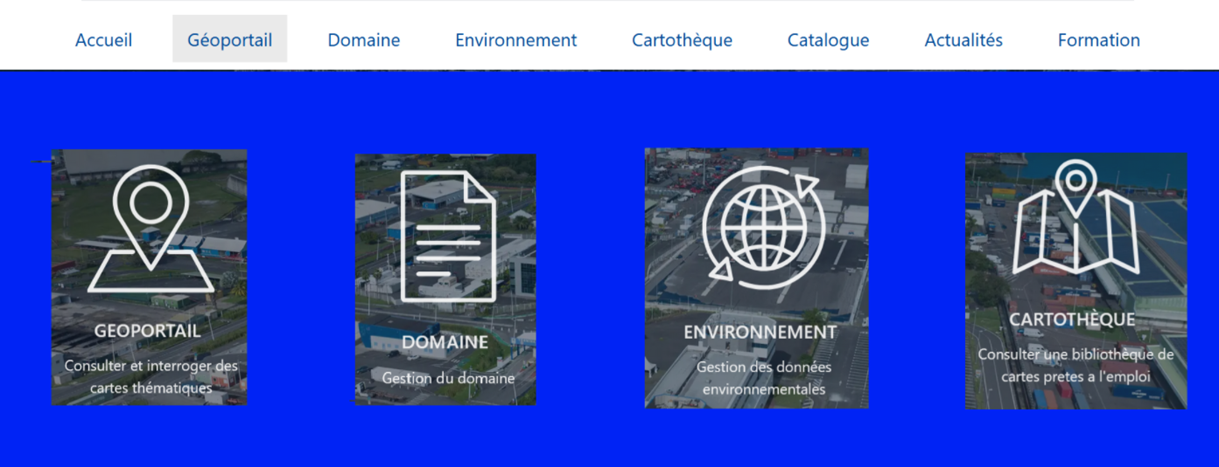
NEOGEO designed and deployed a geographic and land information system for the Grand Port Maritime of Guadeloupe (GPMG), addressing the specific challenges of port environments. This solution centralizes, visualizes, and analyzes geographic, land, and environmental data.
published geographic layers
thematic maps
intuitive, secure solution perfectly integrated into their work environment
Challenges
- A 100% open-source solution on a fully internally managed intranet, with no licensing costs and enhanced security meeting sovereignty requirements.
- Unified access and management of its territory by connecting interactive mapping with business applications.
Missions

GIS portal design through UX/UI design workshops
Data recovery and migration to PostgreSQL / PostGIS
Deployment and configuration of OneGeo Suite (Portal, Publish, Maps)
Administrator and user training
Technical support and adaptive maintenance
Solutions
OneGeo Suite solution connected to land and environmental business modules, enabling the management of plots, equipment, and related agreements, as well as environmental project management (studies, data)
Advanced Geoportal with 2D and 3D visualization, geometry editing mode, business record consultation, a real-time ocean-meteorological alert system, and sensor data retrieval (air quality, wind, tide, swell, etc.).