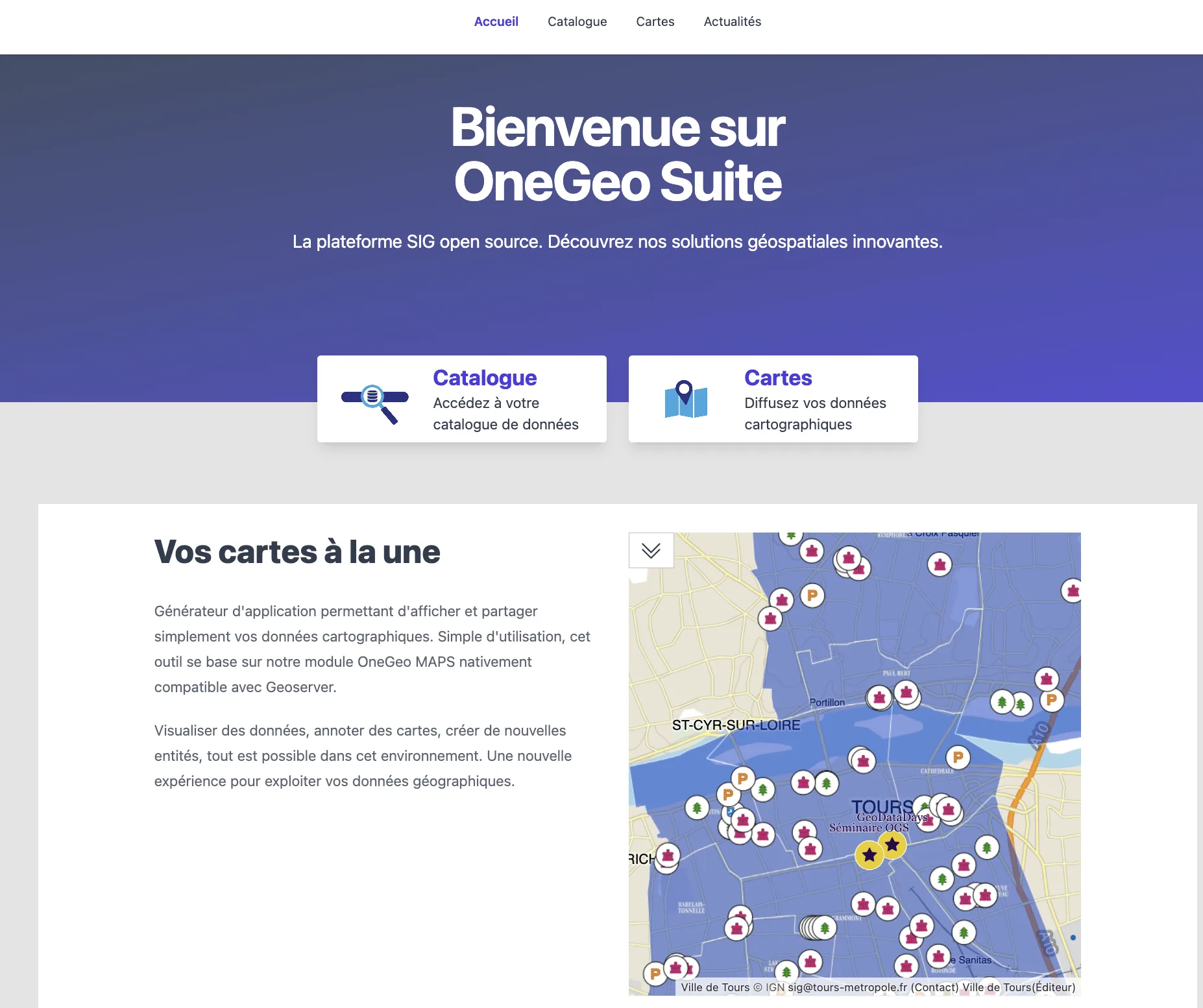
NEOGEO reaches a new milestone with the launch of OneGeo Suite as a SaaS version. Companies and local authorities can now access a comprehensive platform for managing, publishing, and leveraging their geographic data directly from a sovereign cloud without having to install or administer their own infrastructure.
For several years, the OneGeo Suite solution has supported public and private stakeholders in managing and leveraging their geographic data.
It relies on open-source technologies, a modular and scalable architecture, OGC standards, and the Inspire directive to promote interoperability and platform sustainability.
With this new offering, NEOGEO now provides a new way to access OneGeo Suite without having to deploy and maintain the technical infrastructure oneself, an offer intended for small and medium-sized organizations and local authorities.
This approach allows teams to focus on their data and its uses rather than on the technical administration of the platform.
- quick start with an already operational solution,
- publication and sharing of geographic data from a centralized space,
- visualization and leveraging of map data,
- 24/7 access to the platform, from various devices,
- regular maintenance and updates,
- cost control by avoiding investments related to the acquisition and maintenance of dedicated infrastructure.
An offer tailored to different needs
OneGeo Suite SaaS is offered across several usage levels to meet the needs of small organizations as well as companies and local authorities with larger data assets.
Starter: for a simple start
- for small organizations wishing to quickly set up a data catalog and a map application generator
- up to 10 users, 1 GB of storage, and 25 datasets, with a single organization.
- customizable interface based on a proposed model and news management.
Premium: for businesses and local authorities
- offer intended for organizations with greater data and user needs
- unlimited users and datasets, 10 GB of storage
- support for premium vector data
- possibility of harvesting from third-party catalogs
- editorial features to enrich and structure the portal
Premises: for specific needs
- offer adapted to particular requirements in terms of infrastructure, security, customization, or volume
- storage adapted to the needs of multiple organizations, data harvesting, raster data support
- advanced administration and additional modules
Open source at the heart of the solution
The transition to a SaaS version does not question the DNA of OneGeo Suite.
This approach reconciles the advantages of SaaS (ease of access, no installation, maintenance, and updates) with the values of open source: openness, sharing, interoperability, and sustainability.
A deployment mode for every need
The launch of OneGeo Suite SaaS thus complements the existing offering and expands access possibilities to the platform.
Whether you are a small organization looking to quickly set up a data catalog, a local authority wishing to develop its geospatial portal, or an organization needing dedicated infrastructure, OneGeo Suite now offers a deployment mode adapted to every context.
Want to learn more?
👉 Discover OneGeo Suite SaaS offers
👉 Discover OneGeo Suite and its documentation
To go further or study a specific need, the NEOGEO team can also assist you in defining and implementing your geospatial platform. NEOGEO notably offers support, consulting, training, hosting, maintenance, and support services for geographic data infrastructures.