CUSTOM SOLUTIONS
A tailor-made design to support your project
As an integrator, we can design and develop a tailor-made digital solution that adapts to your business and technology ecosystem and to your needs. From analysis to implementation, we support the entire lifecycle of your projects. We prioritize open, scalable architectures, relying primarily on open-source building blocks integrated into your vendor environments.

Applications tailored to your use cases

High-performance, secure geographic data infrastructures
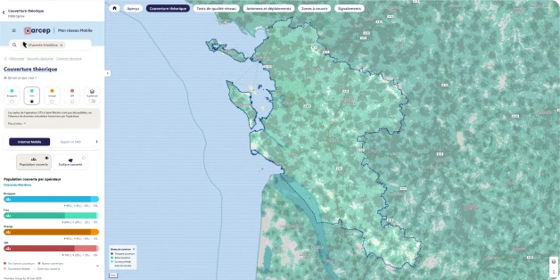
Integrated or standalone mapping applications, tailored to your needs
Web and mobile portals accessible to everyone, for the general public or professionals
Custom business plugins to enhance your existing tools
Observatory
Geomatics expertise
and open source
Our team has mastered a range of technologies that enable us to adapt to your needs and constraints, while recommending the use of open-source components that are innovative, sovereign, secure, and aligned with current norms and standards.
We have strong expertise in specialized technologies and languages for managing your geographic data, for example:
|
GeoServer
|
OpenLayers
|
MapLibre
|
Qgis
|
PostgreSQL/PostGIS
|
MapStore
|
GDAL
|
Leaflet
|
MapServer
|
FME
Nos services
Pour répondre à vos enjeux et nouveaux défis, dans un contexte national ou international, nous vous proposons un ensemble de services pour vous accompagner tout au long de votre projet, de la conception au transfert de compétences.