CLIENT
Géofoncier (Order of Chartered Surveyors – OGE)
Users: Surveyors, Notaries, Real Estate Professionals, Land Stakeholders.
SCOPE CONCERNED
All of France
TIMELINE
Since 2011
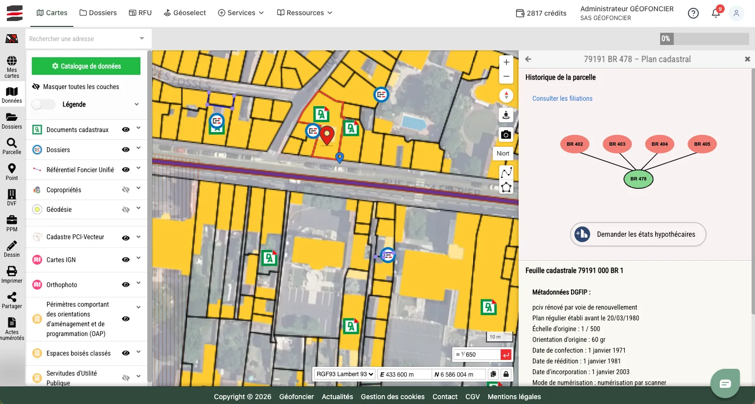
Since 2007, NEOGEO has supported Géofoncier in the design, development, and evolution of the national reference platform for chartered surveyors. A true professional geographic information system, Géofoncier enables the consultation, production, and sharing of land and cadastral data, as well as numerous associated services.
Over the years, the platform has been enhanced with new features and services to support the digital transformation of the profession.
years of continuous collaboration with Géofoncier
datasets
users
Challenges
NEOGEO supports Géofoncier in the continuous evolution of a critical platform serving chartered surveyors, enabling them to fulfill and monitor their professional obligations. The work carried out ensures the availability, performance, and security of the platform while regularly integrating new services that respond to regulatory changes and user needs.
The support today is part of a progressive transfer of Application Maintenance Services (AMS) to the Géofoncier teams. NEOGEO retains an expert role to support major developments, secure knowledge transfers, and guarantee service continuity.
Assignments

Design and development of the Géofoncier platform since 2007
User interface redesign and application architecture modernization
Continuous development of new business services and APIs
Corrective and evolutionary maintenance (AMS / EMS)
Version upgrades, performance optimization, and platform security
Technical assistance and support for Géofoncier teams
Skills transfer and support for progressive internalization of maintenance
Solutions
Custom development of a professional mapping platform dedicated to chartered surveyors.
Management and dissemination of land, cadastral, and regulatory data
Integration of business services such as electronic signatures, partner APIs, document management, mobile applications, and new land services
Continuous evolution of the technical architecture to improve performance, security, and maintainability
Implementation of a DevOps approach, industrialization of development and maintenance processes