CLIENT
Lyon Metropolitan Area
SCOPE
Territory of the Lyon Metropolitan Area, France
TIMELINE
Since 2012
The Lyon Metropolitan Area has established DataGrandLyon, a platform designed to facilitate access to, sharing of, and reuse of data produced by the Metropole, its municipalities, and partners.
Since 2013, the platform has served as a gateway to territorial data and supported the implementation of an open, interoperable, and reusable data policy. It brings together producers, public and private partners, developers, and users around territorial data.
In 2022, the portal migrated to the OneGeo Suite solution, enabling the platform to evolve and enhance its data publishing, cataloging, mapping, and valorization capabilities.
datasets
municipalities
territorial data portal
Challenges
- Centralize and valorize territorial data produced by the Metropole, its municipalities, and partners in order to facilitate access and reuse.
- Facilitate data sharing and openness among local authorities, public stakeholders, businesses, researchers, and citizens, in a spirit of transparency and innovation.
- Improve the use of geographic data through search, consultation, download, mapping, and web service access tools.
- Promote the interoperability of data and systems to enable their reuse across different tools and applications.
- Support public decision-making by facilitating access to structured, up-to-date, and usable territorial information.
- Evolve the platform in line with new data usage trends, progressively integrating new datasets, services, and features.
- Ensure data sovereignty and control, with hosting in France.
Missions

Migration, design, and development of the DataGrandLyon platform based on the OneGeo Suite solution
Deployment and continuous integration of OneGeo Suite and its evolutions
Development of specific features tailored to the needs of the Metropole and its partners
Maintenance and evolution of the technical infrastructure
Support, training, and skills transfer for teams
Corrective and evolutionary maintenance, and technical support
Solutions
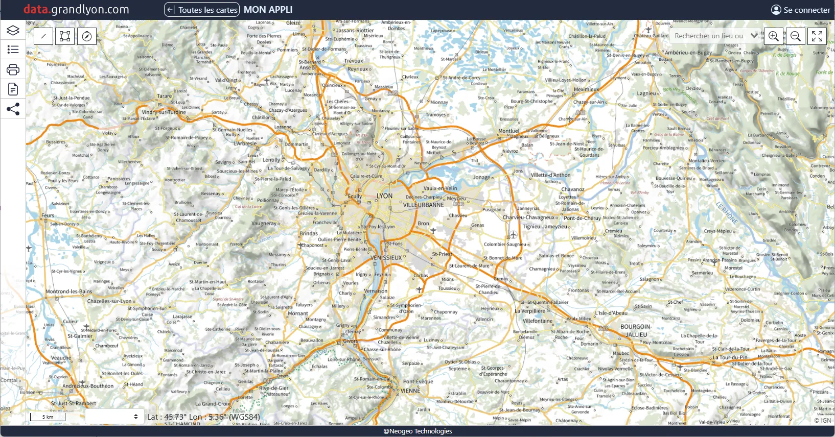
An infrastructure based on OneGeo Suite: a modular platform integrating publishing, cataloging, search, mapping, data visualization, and an editorial portal
A shared and interconnected data catalogue: centralized access to territorial data, with catalogue synchronization and interconnection with local and national infrastructures
Data value-enhancement tools: mapping, data visualization, extraction and data storytelling features through thematic areas and user journeys
An open and scalable platform: an open-source architecture promoting interoperability, resource sharing, and service integration, notably via APIs
An architecture built on open standards: open-source technologies and OGC standards facilitating integration with business applications, existing GIS systems, and organizations’ information systems