CLIENT
GIP ATGeRI
SCOPE
Nouvelle-Aquitaine Region – France
TIMELINE
Since 2020
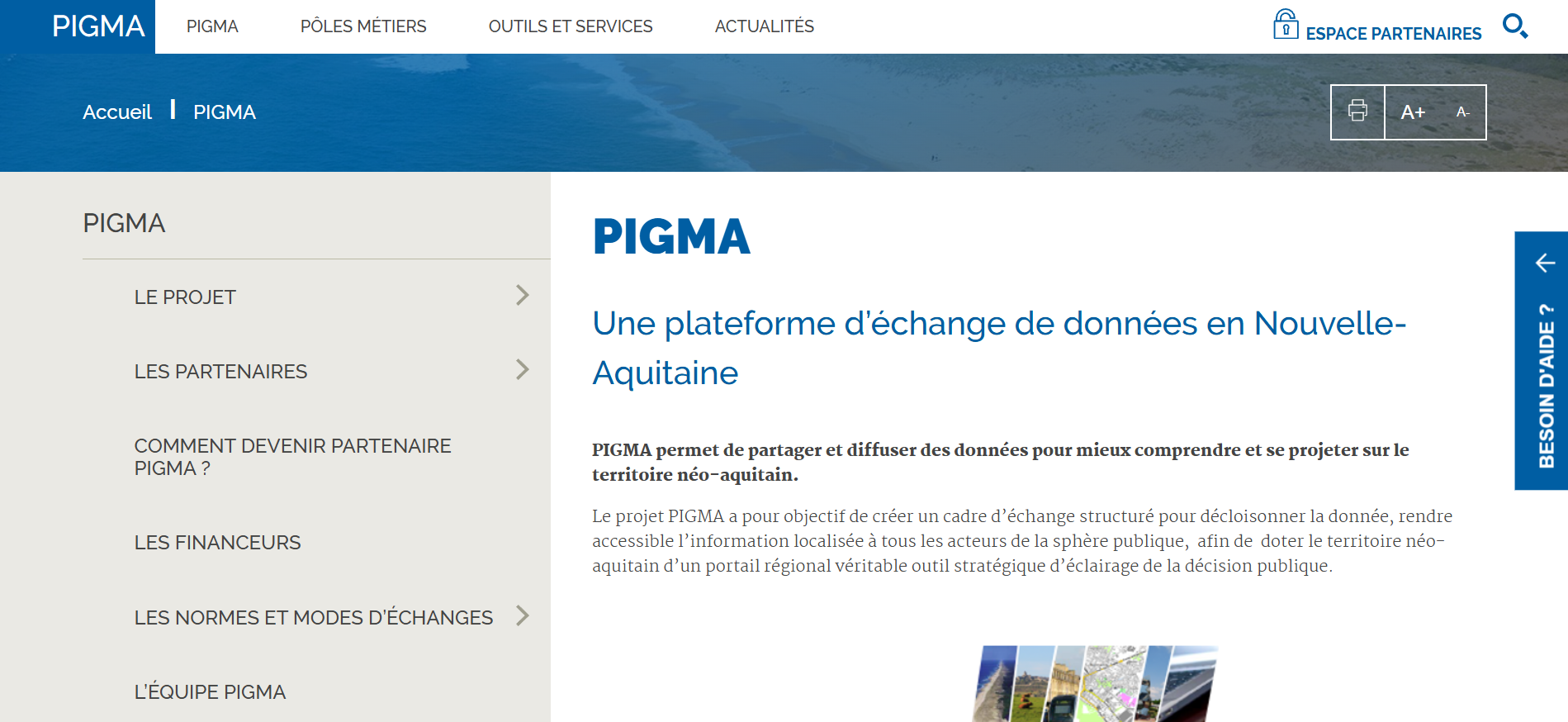
Nouvelle-Aquitaine relies on PIGMA, a regional platform designed to facilitate the sharing, dissemination, and enhancement of territorial data.
Established in 2008 at the initiative of GIP ATGeRi with the support of the State, the Region, and Europe, PIGMA provides a structured exchange framework to break down data silos and make information accessible to public, semi-public, non-profit, and private stakeholders.
The platform offers search, cataloging, visualization, and data download services, in compliance with geographic standards and the requirements of the INSPIRE directive and open data regulations.
Since 2020, the platform has been based on the One Geo Suite solution and also offers visualization services, mapping tools, and interconnections with other platforms and information systems within the regional ecosystem.
In 2025, PIGMA introduced a chatbot to provide a new tool for accessing and interacting with the platform’s data and services. This experiment also contributed to the enrichment of the OneGeo Suite solution by introducing new use cases and functionalities centered around artificial intelligence and conversational data access.
partner organizations
agreed and shared data layers
cataloged data
Challenges
- Pool and enhance territorial data produced by public actors and their partners to facilitate access and reuse.
- Break down data silos at the regional level and strengthen cooperation between local authorities, State services, public institutions, private actors, and platform partners.
- Facilitate searching, consultation, visualization, and downloading of data through a shared catalog and mapping tools.
- Improve public decision-making support by enabling the cross-referencing of geographic and business data across the Nouvelle-Aquitaine region.
- Ensure interoperability and data reuse through compliance with geographic standards and web services.
- Evolve the platform to support new data uses, automate contributions, and improve data quality, freshness, and visibility.
Missions

Design, deployment, and evolution of the PIGMA platform based on the One Geo Suite solution
Integration and evolution of cataloging, search, publication, and data visualization services
Development of specific functionalities tailored to the needs of PIGMA and its network of partners
Interconnection of the platform with regional ecosystem systems and services.
Maintenance and evolution of the technical infrastructure.
Support, training, and skills transfer for teams.
Solutions
An infrastructure based on One Geo Suite: a modular platform integrating cataloging, search, publication, mapping, visualization, and an editorial portal
A shared data catalog: centralized access to territorial data for searching, consultation, visualization, and downloading
Data enhancement tools: map library, viewers, and services for cross-referencing and representing territorial data to facilitate its use in decision-making support
An open and interoperable platform: web services and APIs enabling data access and integration into other applications and information systems
An architecture based on open standards: open-source technologies and geographic standards facilitating interconnection with GIS, partner platforms, and business applications