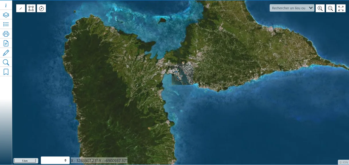
NEOGEO designed and deployed a GIS solution for the Grand Port Maritime de Guadeloupe (GPMG), addressing the specific challenges of port environments. This solution makes it possible to centralize, visualize, and analyze geographic, land, and environmental data. This 100% open-source solution, hosted on the intranet and compliant with data sovereignty requirements, illustrates our ability to … Read more

🔒 The General Security Framework (RGS) in a nutshell The RGS is a reference framework established by the French government to ensure security, reliability, and trust in the digital services used by public administrations, businesses, and citizens.It defines a set of technical and organizational requirements designed to ensure the confidentiality, integrity, availability, and traceability of … Read more

Project Genesis   Launched in 2010 by the Order of Chartered Surveyors (OGE), the Géofoncier project was born from the need to centralize and enhance all cadastral data resulting from the work of Chartered Surveyors and make it accessible within a secure framework. Until then, cadastral, topographic, and land information was scattered across different departments, … Read more

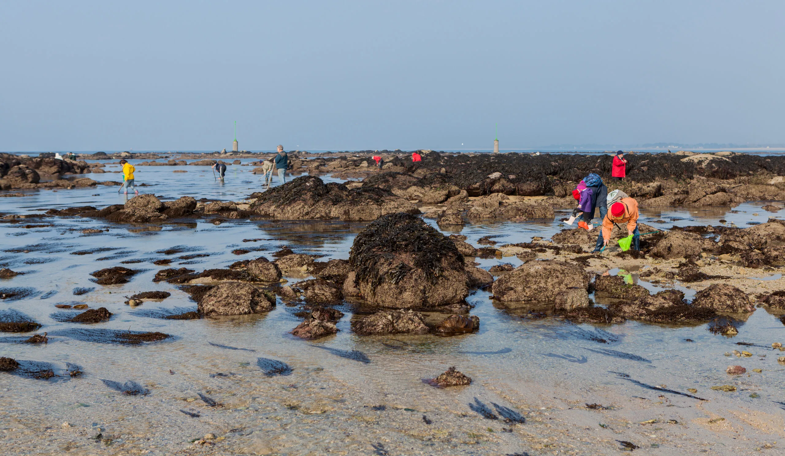
For more than 6 years, Neogeo has had the privilege of supporting the Brittany Regional Health Agency in the design, implementation, and maintenance of an innovative digital tool: Responsible Shellfish Gathering, a mapping portal dedicated to raising awareness among shellfish gatherers about health recommendations related to the quality of coastal areas. In March 2025, ARS … Read more

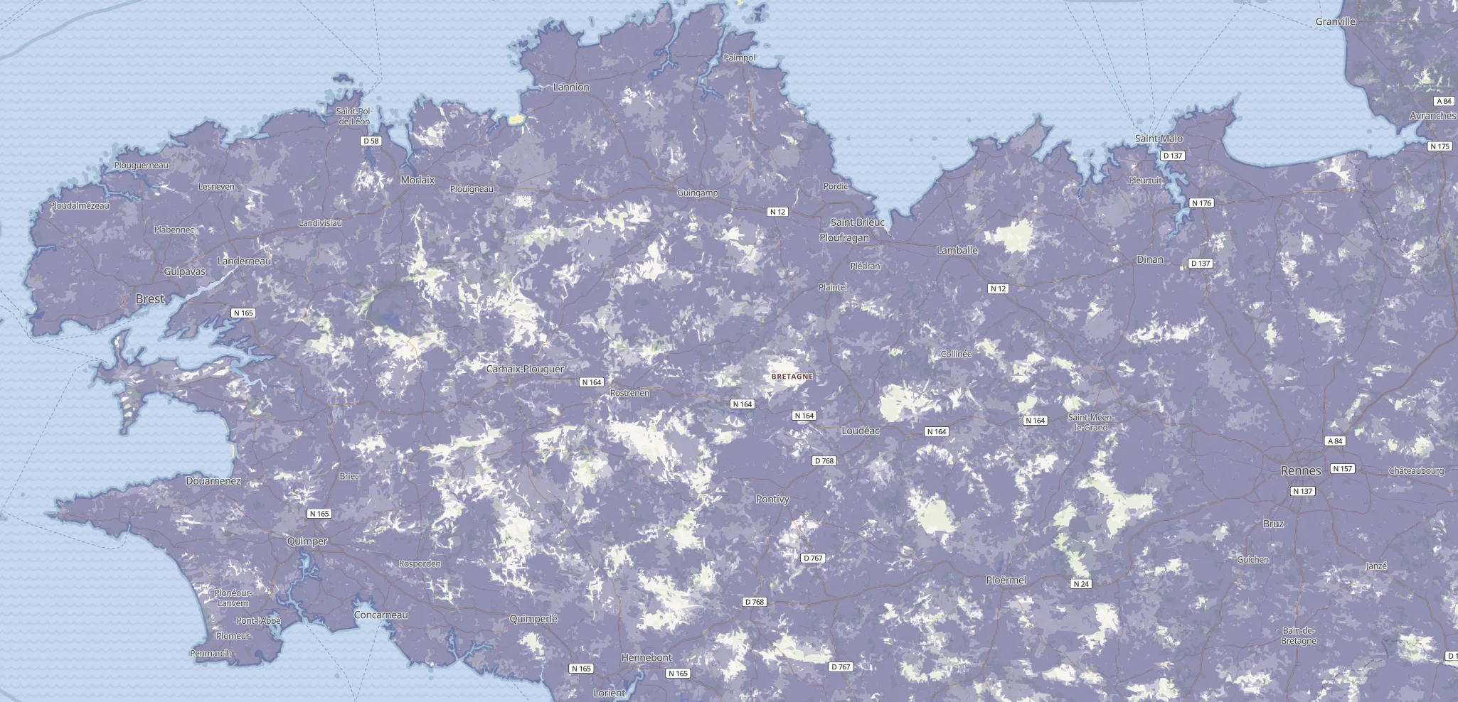
As part of an approach focused on transparency, data-driven regulation, and a better understanding of digital infrastructure across the territory, NEOGEO collaborated with Arcep, the telecoms regulator, on the complete redesign of the https://monreseaumobile.arcep.fr/ website, launched on July 9, 2025. Please note that “My mobile network” is the first “data-driven regulation” tool developed by Arcep, … Read more

The Syndicat Mixte d’Énergies, d’Équipements et de E-Communication du Jura (SIDEC) launched its territorial management tools in October 2024 with the GéoJura project, developed by NEOGEO in partnership with SOGEFI. This project aims to renew the departmental mapping platform, offering innovative and high-performance solutions for member local authorities. Through close collaboration, NEOGEO and SOGEFI designed … Read more

At NEOGEO, we have decided to partner with SOGEFI to offer our users the full power of data. Thanks to this collaboration, NEOGEO’s OneGeo Suite platform is enhanced by SOGEFI’s Mon Territoire business applications. Together, we offer a shared solution that provides a comprehensive range of tools adapted to the needs of administrators, data managers, … Read more

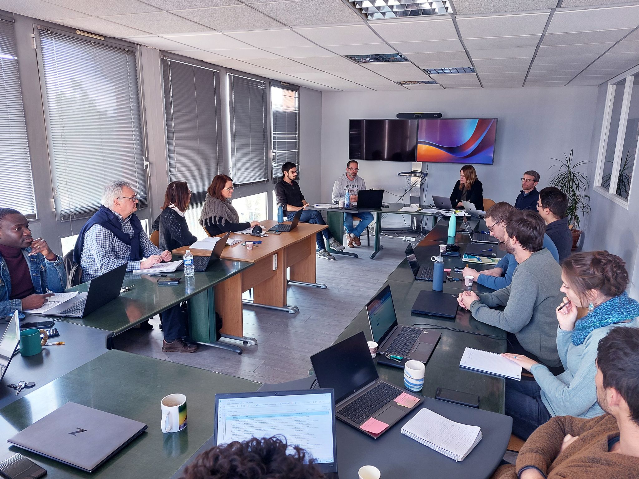
Last January, a workshop was held with the teams from SMEAG – Joint Authority for Garonne Studies and Development. The objective was to present the mockup created as part of their website redesign. The result was very 𝗽𝗼𝘀𝗶𝘁𝗶𝘃𝗲; attendees approved the user journey and the associated design. Our production teams are now working on the … Read more