After learning how to create your first neural network in the article My First Neural Network and studying the theory of model optimization in the article Simple Neural Network Optimization, it’s now time to practice effectively training a neural network! 🚀 To do this, we will revisit the model creation from the article My First … Read more


Chatbots are everywhere, but OneGeo Chat is not limited to generic answers: it leverages your datasets! Thanks to the RAG (Retrieval Augmented Generation) architecture, it queries and cross-references available information to provide accurate and contextualized answers tailored to your field. 🔍 This article is for those who want to go further and discover what happens … Read more

While the Python standard library can be considered stable, the same cannot be said for the typing component, which is currently in a state of rapid development. As a reminder, typing in Python is optional, which is perfectly fine for small projects and scripts. However, as soon as a project grows in scale, typing function … Read more

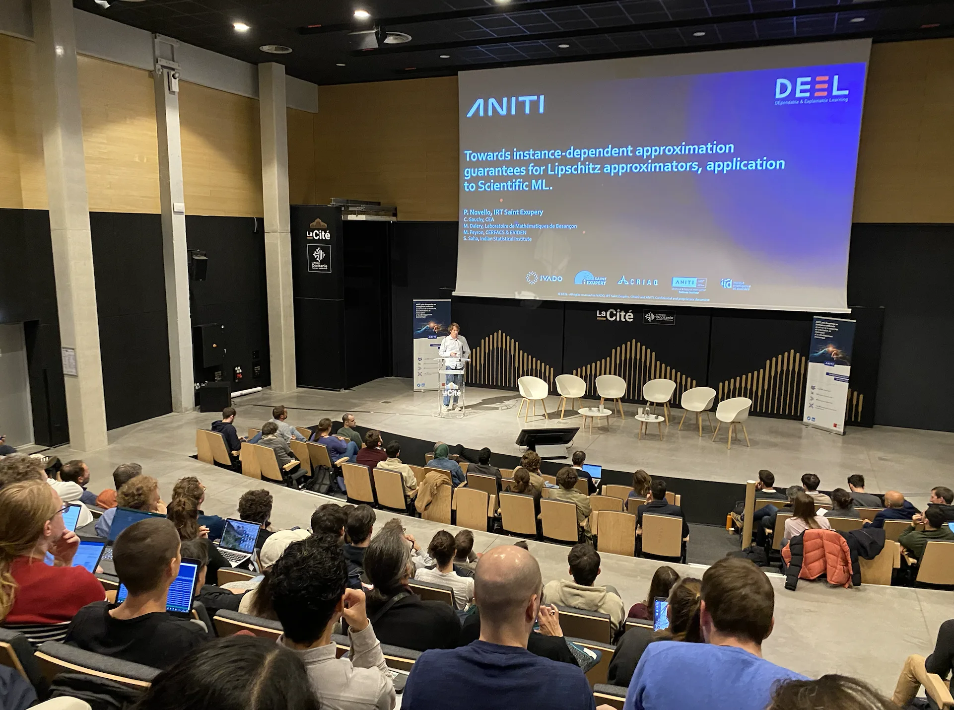
On November 25 and 26, I had the opportunity to participate in the ANITI Days, organized at the Cité de Montaudran in Toulouse. These days dedicated to artificial intelligence are orchestrated by the ANITI (Artificial and Natural Intelligence Toulouse Institute), a leading research institute in Occitanie specializing in artificial intelligence. Enriching Discussions on Retrieval-Augmented Generation … Read more

Python, the dynamic programming language created by Guido van Rossum, has become one of the most popular tools for developers thanks to its simplicity, flexibility, and power. At Neogeo, we use it to develop the backend of our applications, write administration scripts, and do data science. To mark the release of Python 3.13 on October … Read more

  Now that we have learned how to train a neural network (a model) and how to retrieve/create training data, let us review the theory behind optimizing the training of our model. Training a model is an iterative process: at each iteration, the model estimates the output, computes the error in its estimate (loss), collects … Read more

What is a tile? To display spatial data on a map, there are different data formats, including the vector tile, which brings new possibilities for displaying data (fast data access, easy style modification, direct user interaction with objects). Indeed, a digital map can theoretically display data at any scale and in any location, but this … Read more

Neogeo is pleased to announce the date of its very first seminar dedicated to OneGeo Suite, the open-source web solution for sharing, disseminating, and enhancing a territory’s mapping data. This is a unique opportunity for users, contributors to its development, and enthusiasts alike to discover the solution, its latest features, deepen their knowledge, and connect … Read more

To better understand the article on neural networks, this week we invite you to code a small neural network to gain a clearer understanding of what weights, feed forward, and other concepts introduced in the previous article are. We will create a single-neuron neural network and attempt to make it predict data points located on … Read more

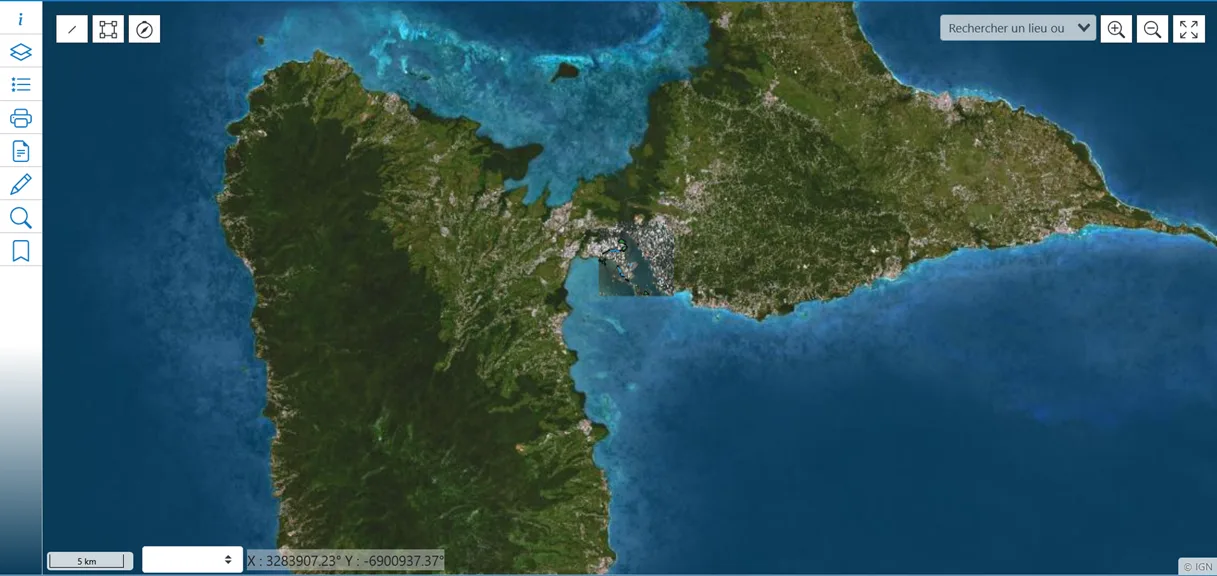
CLIENT Grand Port Maritime of Guadeloupe (GPMG) SCOPE Guadeloupe, France TIMELINE Since 2017, migration contract and maintenance since 2024 NEOGEO designed and deployed a geographic and land information system for the Grand Port Maritime of Guadeloupe (GPMG), addressing the specific challenges of port environments. This solution centralizes, visualizes, and analyzes geographic, land, and environmental data. … Read more